Ceres history
Ceres
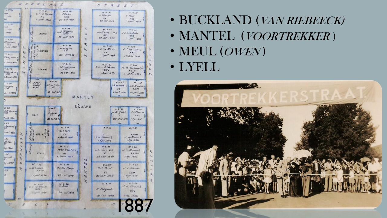
Stock farmers crossed the Witzen mountain range as early as 1727 to establish themselves in the “Koue” and “Warm Bokkeveld”. The accessibility of the area was greatly improved during 1848 when Andrew Geddes Bain built the Michells Pass and Fifteen of the properties was trasferred to the new owners on 29 October 1849. Thus was Ceres established on the 29th of October 1849.
Mr. Michell was the Surveyor-General during that period and he was honoured with the pass bearing his name. The first erven were surveyed after the opening of the pass and the town Ceres, named after the Roman Goddess of Fertility (Fruitfulness) was officially given municipal status on 3 November 1864. The village of Ceres nestles between the picturesque Witzenberg and Skurweberg mountains.
The village of Ceres lies 140 kilometres to the North-East of Cape Town.
After the discovery of diamonds, the road through Ceres became the main route to Kimberley. Ceres was the last town to the north on this route and brought prosperity to the town. The prosperity was, however, short-lived when a railway line was constructed to the north via Wolseley in 1885.
In the subsequent development in Ceres the focus was turned to the development in local agriculture. The deciduous fruit production was boosted only after the completion of the railway line to Wolseley in 1912. (The railway line catered for goods only).
Since the establishment of the Deciduous Fruit Board in 1939 (controlling the packing, shipping and marketing of fruit in foreign countries) continuous growth was experienced in the deciduous trade and accompanying growth of the town.
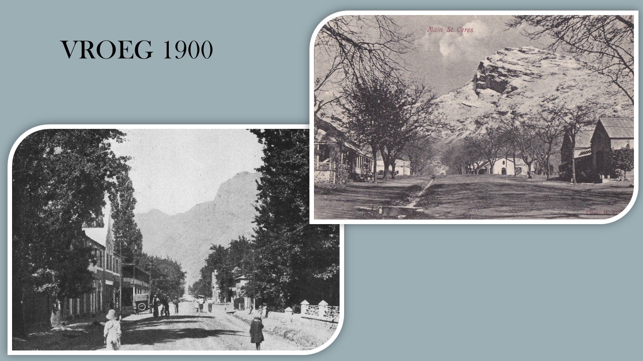
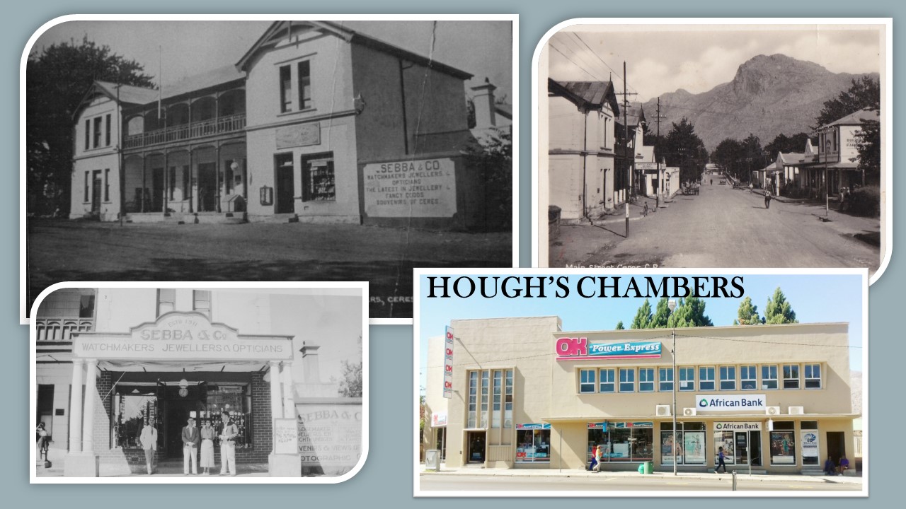
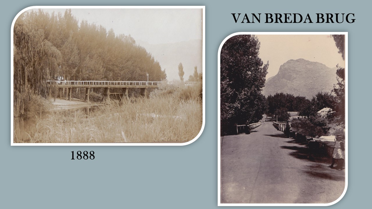
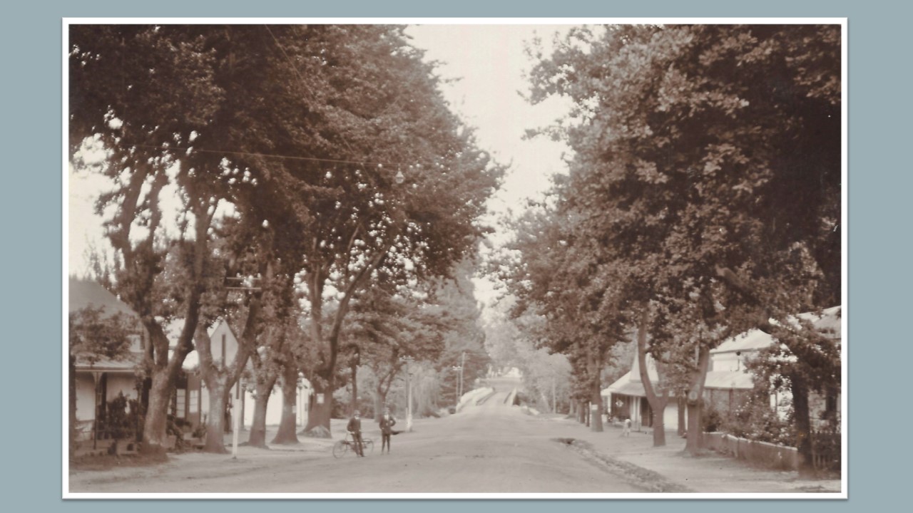
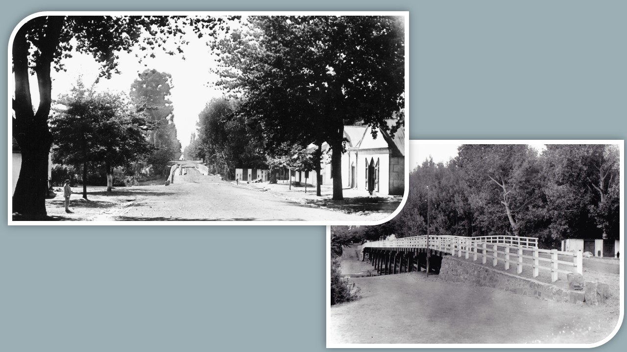
After the discovery of diamonds in Kimberley the main route through Ceres was Voortrekker Street. It was the only street in Ceres with bridge crossing over the Dwars River and businesses were naturally established on this route. Town development was originally made to the west of the river in and around Market Plain.
Farmers sold their produce on Market Plain and traded in this area with the result that the market became the main focus point in town.
The market place changed character in recent years and can no longer be separately identified due to the coalescence with the roads. Public institutions presently border the market area, viz a church, magistrates office, post office and municipal offices. Business development took place in straight line fashion along Voortrekker Street. Due to the development of farming north of Ceres, the importance of the link road to the north put more emphasis on Vos Street.
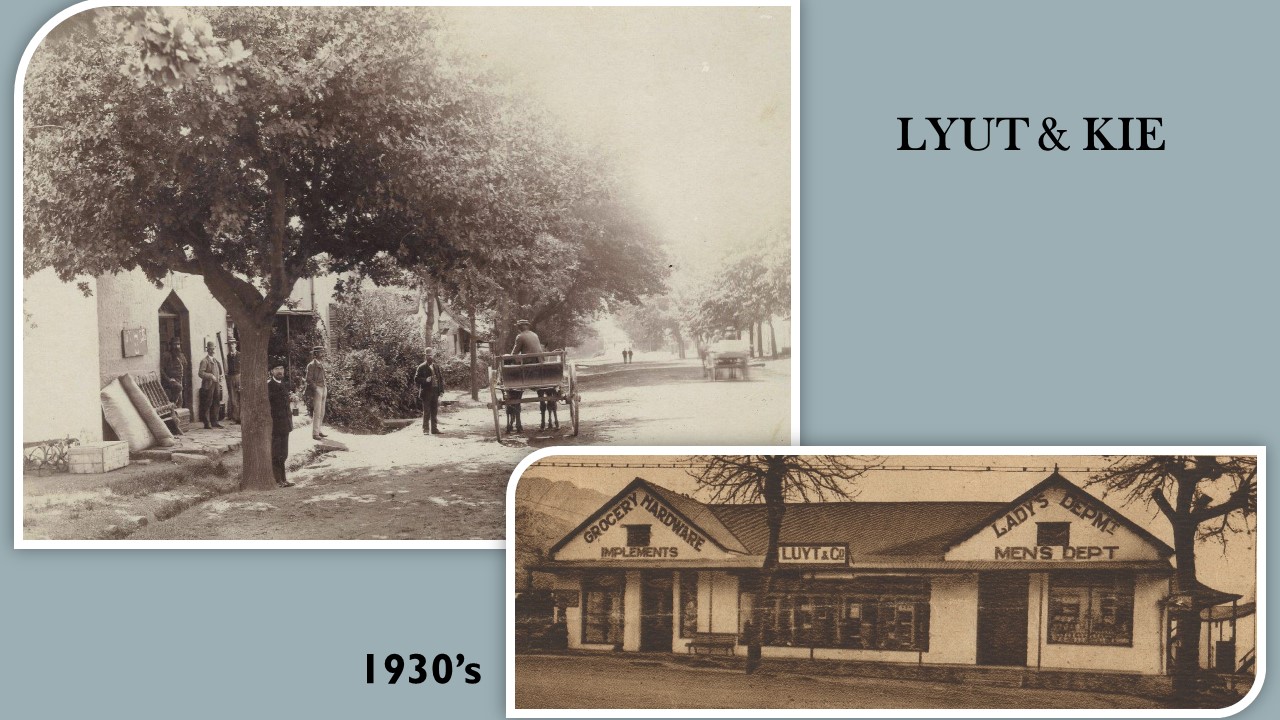
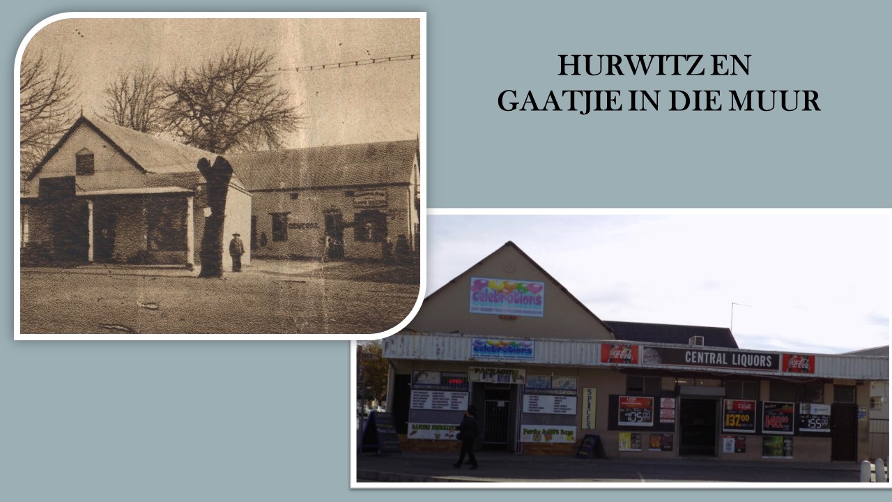
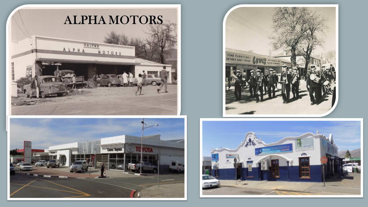
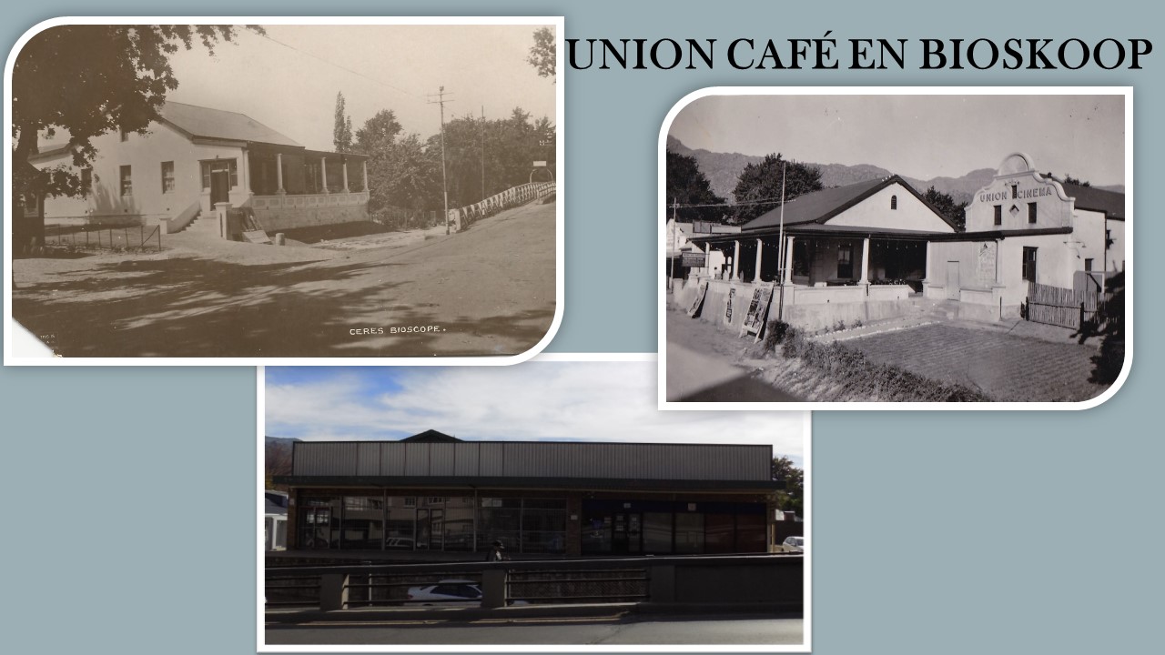
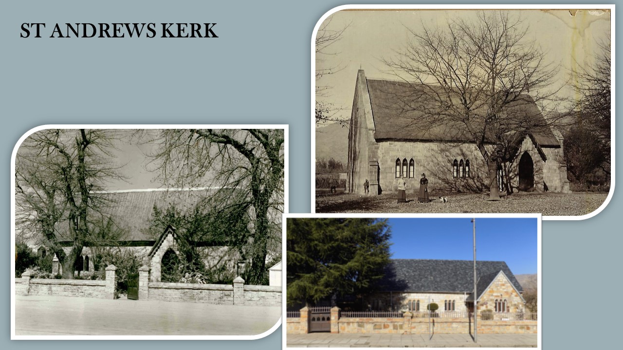
One characteristic feature of Ceres is the fact that dilapidated buildings do not exist which is a direct result of the earthquake that caused extensive damage to old buildings in town on 29 September 1969. Many old buildings were demolished after the earthquake.
The town was developed during a sterile architectural period with the result that no buildings could be classified as historic.
Ceres is one of the largest deciduous fruit and vegetable producing districts in South Africa. Fresh fruit is marketed both locally and internationally as are other products such as fruit juices, dried fruit , potatoes and unions. The first Ceres wines have recently appeared on the market and local spring water is sold worldwide.
The mountains are often snow-capped in winter and on several occasions the snowfall is low and heavy enough to be reached by visitors.
In the subsequent development in Ceres the focus was turned to the development in local agriculture. The deciduous fruit production was boosted only after the completion of the railway line to Wolseley in 1912. (The railway line catered for goods only.) Since the establishment of the Deciduous Fruit Board in 1939 (controlling the packing, shipping and marketing of fruit in foreign countries) continuous growth was experienced in the deciduous trade and accompanying growth of the town.
As a result of the prominent mountain range which forms a physical boundary between this area and the Cape Metropole, a strong service sector has developed locally. Agriculture and especially deciduous fruit and grapes form the economic basis of this region, with the result that the town has developed into a service centre for the farming communities.


Climate
Topography
The geology, specifically the composition of the rocks and the large folded structures, have the greatest effect on the region’s topography. It can be safely assumed that the highest mountain ranges will be composed of hard sandstone and quartzites, while softer, faster weathering shales underlie the valleys. The large-scale folding defines the overall orientation of the mountain ranges. The north-south orientated Koue Bokkeveld and Skurweberg mountains correspond to north –south fold axes (mainly anticlines – see geology panel), and likewise for the east-west orientated Hex River Mountains. The flat lying geology of the Tanqua Karoo results in broad flat plains where there is softer rock and flat-topped mountains (buttes and mesas) where a harder rock formation forms a protective capping.
The highest peaks in the area are the Matroosberg (2270m?) and Sneeuwkop (2070m). These mountains are often snow-capped in winter and are great attractions to the “snow-mad” South Africans. The Koue Bokkeveld to the north of Ceres, is a higher lying area of between 500 and 1500 metres higher than the Warm Bokkeveld. The Warm Bokkeveld lies between 150 and 500 metres. The central plain of the Tanqua Karoo lies between ? and ? metres, with Skoorsteenberg and the Roggeveldberge forming the eastern boundary
Climate/Klimaat
The names, Warm Bokkeveld, the Koue (Afrikaans = cold) Bokkeveld and the Ceres or Tanqua Karoo (Khoi = thirst), already give one a hint of the diverse nature of the region’s climate 1. Weather is a complex phenomena we experience every day and many aspects can be measured including temperature 2, precipitation 3, humidity 4, evaporation 5 , air pressure 6, wind speed and wind direction.
The weather we experience is a result from temperatures difference between day and night (diurnal 7 fluctuation), the ocean and landmass (oceans tend to moderate temperature) and altitude (adiabatic lapse rate 8). An increase in air temperature results in an increase in volume and a corresponding decrease in air pressure. The result of differences in air temperature is atmospheric instability or “moving air” which we call wind. Winds can move vertically or horizontally. Air can rise either due to heat as thermals or be forced to rise on meeting obstacles such as high topography or other denser air masses. Once air rises it cools, condenses 9 to forms cloud which in turn can result in precipitation (drizzle, rain, hail or snow).
In the Ceres region the greatest factor affecting temperature and precipitation is altitude 10 and topography 11. The difference in altitude between the Warm Bokkeveld and the Koue Bokkeveld is roughly 500 metres or 5oC – thus the name “Cold” Bokkeveld. The change in air temperature is quite evident as one drives up Gydo Pass and is also shown graphically in the temperature graphs of Deelville (Warm Bokkeveld) versus Paardekloof (Witzenberg Valley Koue Bokkeveld) and De Keur (Koue Bokkeveld).
In winter, the cool, moisture laden westerly winds are forced to rise by the Skurweberg and Koue Bokkveld mountains from sea-level to more than 2000 metres. The topographic / rainfall map illustrates the relationship between topography and rainfall, this type of rainfall is called orographic 12,. The mountain ranges receive the highest rainfall (2100 – 800mm), while in the Koue Bokkeveld , the high lying plateau receives a moderate rainfall (800 – 300mm). The lower areas of Warm Bokkeveld (400 – 300mm) and the Tanqua Karoo (250 – 100mm) are found within the rain shadow and receive less rain. The rainfall increases over the Great Escarpment of the eastern Tanqua Karoo.
Glossary
- Climate – defined by scientists as the “integrated effect of weather typical of a site or region”.
- Temperature – the concentration of sensible heat in a body and measured on the Celcius and Kelvin scales.
- Precipitation –water droplets or ice particles large enough to fall at least 100m below the cloud base before evaporating (drizzle, hail, rain and snow).
- Humidity – the vapour content of air
- Evaporation – the effusion of water vapour from a water mass or body
- Air pressure – the mass of a column of air of unit cross section or the force acting on a unit area – pressure is measured in newtons per square metre or pascals, but also commonly in millibar of mercury.
- Diurnal – daily cycle
- Adiabatic lapse rate (dry) – a parcel of rising air will cool at a rate of 1oC per 100m, or will warm at the same rate on descent.
- Condensation – the growth of water or ice (sublimation) by diffusion from contiguous vapour.
- Altitude – height above sea level in metres
- Topography – landform
- Orographic rainfall – occurs as a result of relief of the ground
Geology
Rocks and fossils of the Ceres district
Two major sedimentary rock sequences are found in this region. The Cape Sequence consists of mostly sandstones and quartzites with minor shale formations, while the Karoo Sequence consists of mostly shales and siltstone with minor sandstone formations. The different rock types represent different palaeo-environments, with the coarser grained sandstones and quartzites deposited in higher energy environments such as beaches or rivers, while the the finer grained shales and siltstones are deposited in lower energy environments such as deep water lakes or seas. The depositional environment also plays a role in the preservation of fossils, i.e. fossils in low-energy environments have a greater chance of preservation than those in higher energy environments.
The Cape Sequence occurs mostly on the western half and southern side of the Ceres district. The sequence consists of, from oldest to youngest, the Peninsula Formation (equivalent to the quartzites forming Cape Town’s Table Mountain), the Pakhuis Formation (a glacial tillite), the Cederberg Formation (shales), the Nardouw Formation (sandstones and quartzites), the Bokkeveld Group (shales with bands of sandstone) and the Witteberg Group (sandstones with minor shale). The Cape Sequence was deposited between the Upper Ordovician (±450 Ma – million years) and the Lower Carboniferous (±354 Ma).
The Karoo Sequence is found mostly in the eastern half of the Ceres district and consists of the following formations: Dwyka Formation (glacial tillite), Prince Albert and White Hill Formations (siltstones and carbonaceous shale, chert bands), Ecca Group (Tierberg – siltstone and shale, Skoorsteenberg – sandstone, shale and siltstone, Koedoesberg – sandstone, Kookfontein – sandstone formations) and the Beaufort Adelaide Formation (sandstones). The Karoo rocks in the Ceres area are between 290 Ma (Upper Carboniferous) and 145 Ma years old (Jurassic Cretaceous boundary).
Fossils and other traces of life can be found in almost every rock formation, with the greatest concentration in the lowermost shales of the Bokkeveld Group (see marine brachiopods, trilobites and crinoids) and throughout the Beaufort Group (dinosaur reptiles and mammal-like reptiles). All fossils are protected by law and may not be disturbed or removed.
Folding and structure
One of the most striking features of the Ceres region is the high mountain ranges and Ceres is often referred to as the “Switzerland of South Africa”. These mountain ranges form part of a 1000 km mountain chain called the Cape Folded Belt. The mountain building is thought to be a result of continental tectonic plate movement, specifically South America colliding with Africa to form Gondwana. Some researchers, however, postulate that the folding is due to “soft sediment deformation”. The Cape folding event took place during the deposition of the lower Karoo sediments, i.e. between 300 Ma and 240 Ma. The only rocks of volcanic origin are the intrusive dolerite dykes (vertical) and sills (horizontal) of the Ceres Tanqua Karoo. The volcanic activity is related to the continental breakup of Gondwana, where India, Madagascar, Antarctica – Australia and South America broke away from Africa (about 145 Ma).
Very little deposition has occurred since the splitting up of Gondwana,, with the dominant process being weathering and erosion of the rocks to produce the present landscape.